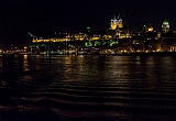
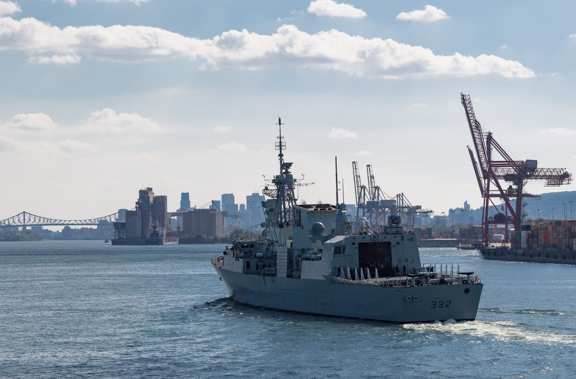
The ferry, with the unimaginative name CTMA Vacancier, left the Bickerdike Basin in the Port of Montéal at 3pm, and it was fun to cruise past Habitat 67, all the Old Port area, under the Jacques Cartier bridge and out past the more industrial downstream parts of the port.

After we cleared the island of Montréal the shore was mainly low cliffs with waterfront houses, with the occasional village (marked by the church). What surprised us were the sudden appearances of large industrial areas like the metal works at Contrecoeur.

We arrived at Lac St. Pierre towards dusk. A large, shallow, very calm lake. We could see the bridge at Trois Rivière from a long way off, and watch freighters slowly approach us, carefully following the channel markers.

5D3 2739  Taken at Latitude/Longitude:45.494695/-73.545941.  km       (Map link) 5D3 2741  Taken at Latitude/Longitude:45.495249/-73.546149.  km       (Map link) 5D3 2743  Taken at Latitude/Longitude:45.502749/-73.545478.  km       (Map link) 5D3 2747  Taken at Latitude/Longitude:45.510208/-73.544203.  km       (Map link) 5D3 2748  Taken at Latitude/Longitude:45.512307/-73.544434.  km       (Map link)
5D3 2750  Taken at Latitude/Longitude:45.515345/-73.544349.  km       (Map link) 5D3 2755  Taken at Latitude/Longitude:45.522101/-73.542757.  km       (Map link) 5D3 2758  Taken at Latitude/Longitude:45.534630/-73.535681.  km       (Map link) 5D3 2764  Taken at Latitude/Longitude:45.584071/-73.500824.  km       (Map link) 5D3 2768  Taken at Latitude/Longitude:45.854307/-73.269398.  km       (Map link)
5D3 2774 5D3 2779 5D3 2784 5D3 2787 5D3 2788